 |
A unique approach to Historical MappingOne Historical Map for Each and Every Year in Recorded History |
|
| Home | About the Maps | Sources | Sample Maps | Custom Maps | Books | apps | Contact us |
|
|
|
Custom Maps
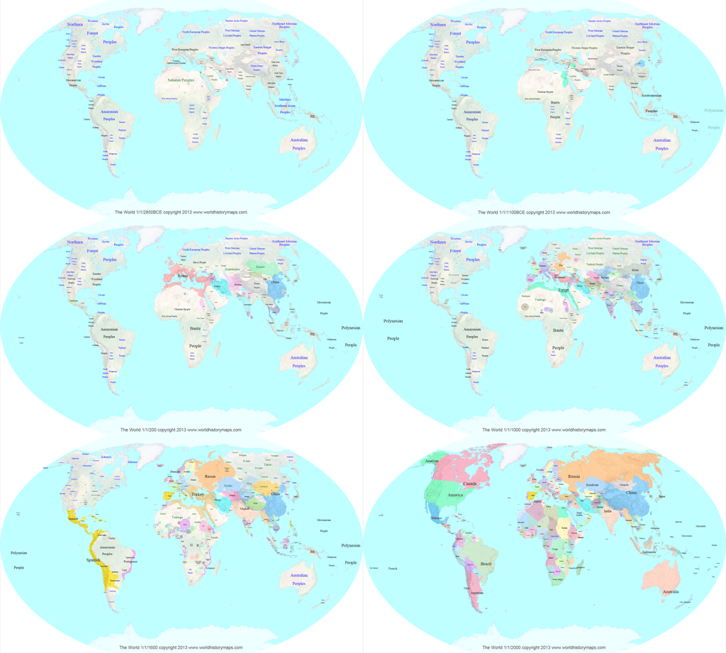
We can draw custom historical maps in a variety of formats, projections, and appearances. A sample will be drawn to your specifications and a price for all the maps you want will be quoted. There is a minimum charge for the sample. There will be a base price per map plus whatever options you select. Once you approve the sample and accept the price, all maps ordered will be produced and sent via email or made available for download. Please review the information below.
| E-Mail us for a price quote |
Formats
The native format for our historical maps is SVG, however we can convert them to the following formats if desired.
- GeoJSON
- Shapefiles
- PNG
Projections
The custom maps will be drawn using the map projection of your choice. The following projections are available.
- No projection
- Winkel-Tripel (used by National Geographic)
- Orthographic
Map Appearance
The following choices are available for the appearance of the custom maps. There are additional charges for some choices
- Standard colors for countries
- No colors for countries
- Custom colors for countries
- Country names on or off
- Country names on separate layer
- Rivers on or off
- Grids on or off
You must purchase a non-exclusive license to modify the custom maps or display them in any way for public use.
There will be a fee for a special non-exclusive license to use and distribute the maps in another form or on another web site for each set of 1000 years of maps. Additional licenses are required for additional maps, or different sets of maps. Our web site (www.worldhistorymaps.com) must be credited as the source of the maps as well.
Years
Our standard is to produce one map for each year in a given range. Other options are available for the custom maps however. We can produce a map for every other year, or every 3 years, or any interval you choose. We can also produce maps for years at non-regular intervals (you must provide the list of years) but there is an additional charge for this option.
Other Customization
Additional customization can be done. For example, you may want the borders to be narrower to to be dashed. Any such customization must apply consistently to all maps and will involve additional charges.
| E-Mail us for a price quote |
If you need more explanation of these choices or have questions, please send us e-mail.

